
Bestand:Agattu Island.png
Grootte van deze voorvertoning: 800 × 528 pixels. Andere resoluties: 320 × 211 pixels | 640 × 422 pixels | 1.024 × 675 pixels | 1.280 × 844 pixels | 2.062 × 1.360 pixels.
Oorspronkelijk bestand (2.062 × 1.360 pixels, bestandsgrootte: 875 kB, MIME-type: image/png)
| Dit is een bestand van Wikimedia Commons. Onderstaande beschrijving komt van de beschrijving van het bestand daar. |
Beschrijving
| Beschrijving |
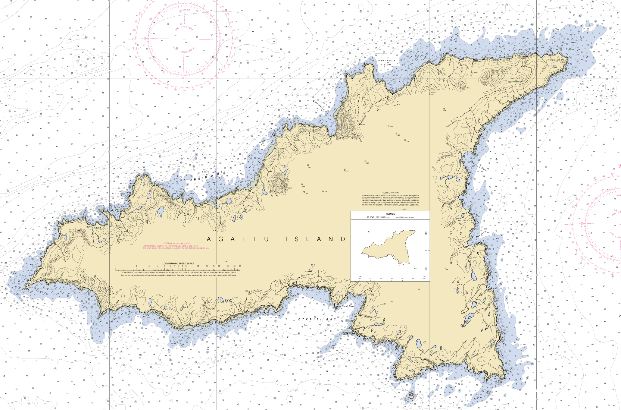
English: Nautical chart of Agattu Island, reduced. |
| Datum | |
| Bron | NOAA |
| Auteur | U.S. Government |
Licentie
Deze afbeelding is in het publiek domein omdat het materiaal bevat dat oorspronkelijk van de National Oceanic and Atmospheric Administration kwam in de Verenigde Staten en genomen of gemaakt is tijdens de officiële werkzaamheden van een werknemer.
|
Bestandsgeschiedenis
Klik op een datum/tijd om het bestand te zien zoals het destijds was.
| Datum/tijd | Miniatuur | Afmetingen | Gebruiker | Opmerking | |
|---|---|---|---|---|---|
| huidige versie | 25 sep 2016 14:26 | | 2.062 × 1.360 (875 kB) | Cmdrjameson | Compressed with pngout. Reduced by 458kB (34% decrease). |
| 12 mei 2010 08:12 |  | 2.062 × 1.360 (1,3 MB) | Xpda | {{Information |Description={{en|1=Nautical chart of Agattu Island, reduced.}} |Source=NOAA |Author=U.S. Government |Date=May 2004 |Permission= |other_versions= }} |
Bestandsgebruik
Dit bestand wordt op de volgende pagina gebruikt:
Globaal bestandsgebruik
De volgende andere wiki's gebruiken dit bestand:
- Gebruikt op ast.wikipedia.org
- Gebruikt op az.wikipedia.org
- Gebruikt op ca.wikipedia.org
- Gebruikt op ceb.wikipedia.org
- Gebruikt op de.wikipedia.org
- Gebruikt op en.wikipedia.org
- Gebruikt op eo.wikipedia.org
- Gebruikt op it.wikipedia.org
- Gebruikt op ja.wikipedia.org
- Gebruikt op ru.wikipedia.org
- Gebruikt op uk.wikipedia.org
- Gebruikt op www.wikidata.org
- Gebruikt op zh.wikipedia.org