
Bestand:Amazon River 95 km upstream of Tabatinga, Leticia.jpg
Grootte van deze voorvertoning: 800 × 530 pixels. Andere resoluties: 320 × 212 pixels | 640 × 424 pixels | 1.024 × 678 pixels | 1.280 × 848 pixels | 3.032 × 2.008 pixels.
Oorspronkelijk bestand (3.032 × 2.008 pixels, bestandsgrootte: 1,65 MB, MIME-type: image/jpeg)
| Dit is een bestand van Wikimedia Commons. Onderstaande beschrijving komt van de beschrijving van het bestand daar. |
Beschrijving
| Beschrijving |
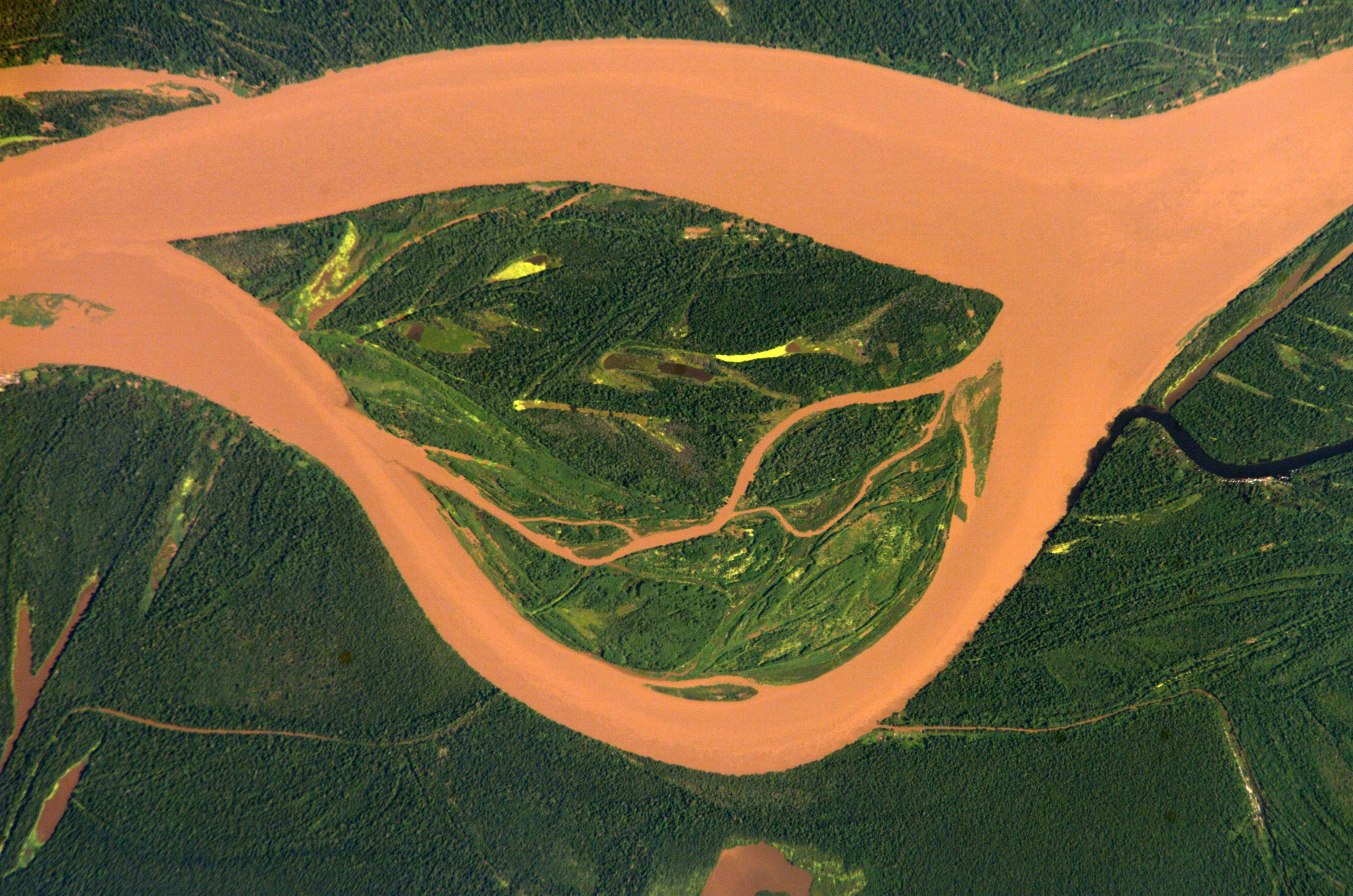
English: Amazon 95 km upstream of Tabatinga/Leticia (Frontier Colombia-Peru)
Deutsch: Amazonas 95 km oberhalb von Tabatinga/Leticia (Grenze Kolumbien-Peru)
Español: Río Amazonas 95 km aguas arriba de Tabatinga/Leticia (Frontera Colombia-Perú) |
| Datum | |
| Bron | http://eol.jsc.nasa.gov/scripts/sseop/photo.pl?mission=ISS004&roll=E&frame=12730 |
| Auteur | ISS Expedition 4 crew member |
| Cameralocatie | | Deze en andere afbeeldingen in: OpenStreetMap |
|---|
Deze afbeelding of video is gecatalogiseerd door Johnson Space Center van de Verenigde Staten National Aeronautics and Space Administration (NASA)onder Foto ID: ISS004-E-12730.Deze banner zegt niets over de auteursrechten die van toepassing zijn. Een normale auteursrechten-tag is nodig. Zie Commons:Licensing voor meer informatie. Andere talen:
|
Licentie
This file is in the public domain in the United States because it was created by the Image Science & Analysis Laboratory, of the NASA Johnson Space Center. NASA copyright policy states that "NASA material is not protected by copyright unless noted". (NASA media use guidelines or Conditions of Use of Astronaut Photographs).
Photo source: ISS004-E-12730.
|
Oorspronkelijk uploadlogboek
De oorspronkelijke beschrijving van deze afbeelding stond hier. Alle volgende gebruikersnamen verwijzen naar de.wikipedia.
- 2005-03-04 12:14 Managementboy 639×435× (331304 bytes) Guaviare Fluss in Kolumbien
| Aantekeningen | Deze afbeelding is aangetekend: Bekijk de aantekeningen op Commons |
Bestandsgeschiedenis
Klik op een datum/tijd om het bestand te zien zoals het destijds was.
| Datum/tijd | Miniatuur | Afmetingen | Gebruiker | Opmerking | |
|---|---|---|---|---|---|
| huidige versie | 13 jul 2014 16:54 | | 3.032 × 2.008 (1,65 MB) | Ras67 | cropped, colors adjusted |
| 13 jul 2014 16:52 |  | 3.032 × 2.064 (1,43 MB) | Ras67 | high resolution original | |
| 14 apr 2006 21:06 |  | 639 × 422 (104 kB) | Darwinek | ||
| 14 apr 2006 20:52 |  | 639 × 435 (324 kB) | Inge-Lyubov~commonswiki | *{{en|Guaviare River in Colombia}} *{{de|Guaviare Fluss in Kolumbien}} *Earth Sciences and Image Analysis, NASA-Johnson Space Center. 30 Apr. 2003. "Astronaut Photography of Earth - Display Record." http://eol.jsc.nasa.gov/scripts/sseop/photo.pl?mission= |
Bestandsgebruik
Dit bestand wordt op de volgende pagina gebruikt:
Globaal bestandsgebruik
De volgende andere wiki's gebruiken dit bestand:
- Gebruikt op azb.wikipedia.org
- Gebruikt op fa.wikipedia.org
- Gebruikt op fr.wikipedia.org
- Gebruikt op it.wikipedia.org
- Gebruikt op lt.wikipedia.org
- Gebruikt op pl.wikipedia.org
- Gebruikt op pt.wikipedia.org
- Gebruikt op sr.wikipedia.org
- Gebruikt op vi.wikipedia.org
- Gebruikt op zh.wikipedia.org