
Bestand:LocationCrimea 5.png

Grootte van deze voorvertoning: 720 × 600 pixels. Andere resoluties: 288 × 240 pixels | 576 × 480 pixels | 922 × 768 pixels | 1.200 × 1.000 pixels.
Oorspronkelijk bestand (1.200 × 1.000 pixels, bestandsgrootte: 50 kB, MIME-type: image/png)
| Dit is een bestand van Wikimedia Commons. Onderstaande beschrijving komt van de beschrijving van het bestand daar. |
Beschrijving
| Beschrijving |
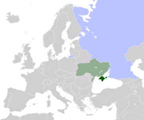
English: map of Europe, highlighted Ukraine with Crimea, and Russia |
| Datum | |
| Bron |
Dit bestand is afgeleid van: LocationCrimea.PNG: |
| Auteur |
|
| Andere versies |
   .PNG) |
Licentie
This work is based on a work in the public domain. It has been digitally enhanced and/or modified. This derivative work has been (or is hereby) released into the public domain by its author, CoArms. This applies worldwide.
In some countries this may not be legally possible; if so: |
Bestandsgeschiedenis
Klik op een datum/tijd om het bestand te zien zoals het destijds was.
| Datum/tijd | Miniatuur | Afmetingen | Gebruiker | Opmerking | |
|---|---|---|---|---|---|
| huidige versie | 20 mrt 2014 15:27 | | 1.200 × 1.000 (50 kB) | FeyBart | User created page with UploadWizard |
Bestandsgebruik
Dit bestand wordt op de volgende pagina gebruikt:
Globaal bestandsgebruik
De volgende andere wiki's gebruiken dit bestand:
- Gebruikt op la.wikipedia.org