
Bestand:Map-RB-1812-Grand Duchy of Berg.svg

Oorspronkelijk bestand (SVG-bestand, nominaal 698 × 999 pixels, bestandsgrootte: 796 kB)
| Dit is een bestand van Wikimedia Commons. Onderstaande beschrijving komt van de beschrijving van het bestand daar. |
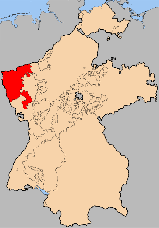
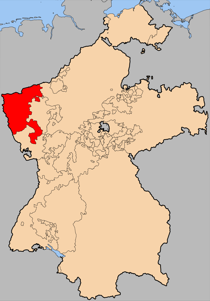
| Beschrijving | The Grand Duchy of Berg within Germany at the time of the en:Confederation of the Rhine | |||||||||||
| Datum | ||||||||||||
| Bron | en:Image:Map-RB-Frankfurt.svg by User:52 Pickup, not uploaded to commons. | |||||||||||
| Auteur | User:52 Pickup, User:Sir Iain | |||||||||||
| Toestemming (Hergebruik van dit bestand) |
Dit bestand is gelicenseerd onder de Creative Commons-licentie Naamsvermelding-Gelijk delen 2.5 Unported
|

Bestandsgeschiedenis
Klik op een datum/tijd om het bestand te zien zoals het destijds was.
| Datum/tijd | Miniatuur | Afmetingen | Gebruiker | Opmerking | |
|---|---|---|---|---|---|
| huidige versie | 20 apr 2008 20:55 | | 698 × 999 (796 kB) | Sir Iain | {{Information| |Description= The Grand Duchy of Berg within Germany at the time of the en:Confederation of the Rhine |Source=en:Image:Map-RB-Frankfurt.svg by User:52 Pickup, not uploaded to commons. |Date= 20-04-2008 |A |
Bestandsgebruik
Dit bestand wordt op de volgende pagina gebruikt:
Globaal bestandsgebruik
De volgende andere wiki's gebruiken dit bestand:
- Gebruikt op ar.wikipedia.org
- Gebruikt op bg.wikipedia.org
- Gebruikt op ca.wikipedia.org
- Gebruikt op cs.wikipedia.org
- Gebruikt op el.wikipedia.org
- Gebruikt op es.wikipedia.org
- Gebruikt op fr.wikipedia.org
- Gebruikt op gd.wikipedia.org
- Gebruikt op pl.wikipedia.org
- Gebruikt op ro.wikipedia.org
- Gebruikt op ru.wikipedia.org
- Gebruikt op uk.wikipedia.org
- Gebruikt op www.wikidata.org
- Gebruikt op zh.wikipedia.org