
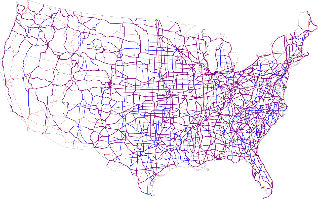
Bestand:Map of current US Routes.svg

Afmetingen van deze voorvertoning van het type PNG van dit SVG-bestand: 689 × 432 pixels Andere resoluties: 320 × 201 pixels | 640 × 401 pixels | 1.024 × 642 pixels | 1.280 × 803 pixels | 2.560 × 1.605 pixels.
Oorspronkelijk bestand (SVG-bestand, nominaal 689 × 432 pixels, bestandsgrootte: 943 kB)
| Dit is een bestand van Wikimedia Commons. Onderstaande beschrijving komt van de beschrijving van het bestand daar. |
Beschrijving

|
Dit bestand kan vervangen worden door File:Map of current U.S. Routes.svg. Het wordt aangeraden om het andere bestand te gebruiken. Opmerking: dit bestand zal niet worden verwijderd tenzij het expliciet wordt genomineerd ter verwijdering. empty
|

|
| Beschrijving |
|
|
| Datum | 13 juli 2006 (uploaddatum) | |
| Bron | Eigen werk / Base map is http://www.nationalatlas.gov/printable/images/pdf/reference/genref.pdf | |
| Auteur | SPUI |
Licentie
| Dit werk vrijgegeven in het publieke domein door de auteur, SPUI. Dit is wereldwijd van toepassing. In sommige landen is dit wettelijk niet mogelijk; in die gevallen geldt: |
Bestandsgeschiedenis
Klik op een datum/tijd om het bestand te zien zoals het destijds was.
| Datum/tijd | Miniatuur | Afmetingen | Gebruiker | Opmerking | |
|---|---|---|---|---|---|
| huidige versie | 14 jul 2006 02:38 | | 689 × 432 (943 kB) | SPUI~commonswiki | missed the east part of 412 |
| 13 jul 2006 23:18 |  | 689 × 432 (943 kB) | SPUI~commonswiki | oops... forgot the alternates | |
| 13 jul 2006 22:47 |  | 689 × 432 (934 kB) | SPUI~commonswiki | forgot a piece of 14A in Wyoming, also added Interstates | |
| 13 jul 2006 16:08 |  | 689 × 432 (600 kB) | SPUI~commonswiki | thinner state lines | |
| 13 jul 2006 16:03 |  | 690 × 432 (600 kB) | SPUI~commonswiki | white background and green alternates | |
| 13 jul 2006 15:57 |  | 690 × 432 (485 kB) | SPUI~commonswiki | {{spuimap}} |
Bestandsgebruik
Dit bestand wordt op de volgende pagina gebruikt:
Globaal bestandsgebruik
De volgende andere wiki's gebruiken dit bestand:
- Gebruikt op bg.wikipedia.org
- Gebruikt op da.wikipedia.org
- Gebruikt op de.wikipedia.org
- Gebruikt op en.wikipedia.org
- Gebruikt op es.wikipedia.org
- Gebruikt op fa.wikipedia.org
- Gebruikt op fr.wikipedia.org
- Gebruikt op hu.wikipedia.org
- Gebruikt op it.wikipedia.org
- Gebruikt op ja.wikipedia.org
- Gebruikt op ko.wikipedia.org
- Gebruikt op pl.wikipedia.org
- Gebruikt op ru.wikipedia.org
- Gebruikt op simple.wikipedia.org
- Gebruikt op sl.wikipedia.org
- Gebruikt op sv.wikipedia.org
- Gebruikt op th.wikipedia.org
- Gebruikt op tr.wikipedia.org
- Gebruikt op uk.wikipedia.org
- Gebruikt op vi.wikipedia.org
- Gebruikt op zh.wikipedia.org