
Bestand:SD-CountyMap.jpg
Grootte van deze voorvertoning: 800 × 490 pixels. Andere resoluties: 320 × 196 pixels | 640 × 392 pixels | 847 × 519 pixels.
Oorspronkelijk bestand (847 × 519 pixels, bestandsgrootte: 61 kB, MIME-type: image/jpeg)
| Dit is een bestand van Wikimedia Commons. Onderstaande beschrijving komt van de beschrijving van het bestand daar. |
Beschrijving
| Beschrijving |
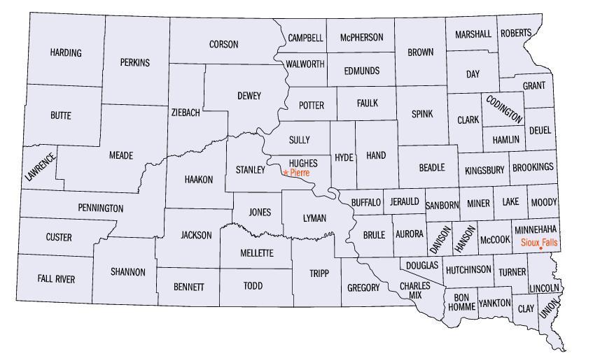
English: Map of South Dakota counties. |
| Bron | https://web.archive.org/web/20050204100123/http://www.fedstats.gov/qf/maps/south_dakota_map.html |
| Auteur | United States Census Bureau |


Licentie
This image or file is a work of a United States Census Bureau employee, taken or made as part of that person's official duties. As a work of the U.S. federal government, the image is in the public domain.
|
 |
Bestandsgeschiedenis
Klik op een datum/tijd om het bestand te zien zoals het destijds was.
| Datum/tijd | Miniatuur | Afmetingen | Gebruiker | Opmerking | |
|---|---|---|---|---|---|
| huidige versie | 13 okt 2006 23:07 | | 847 × 519 (61 kB) | JosN | Map of South Dakota counties. |
Bestandsgebruik
Dit bestand wordt op de volgende pagina gebruikt:
Globaal bestandsgebruik
De volgende andere wiki's gebruiken dit bestand:
- Gebruikt op en.wikipedia.org
- Gebruikt op es.wikipedia.org
- Gebruikt op fr.wikipedia.org
- Gebruikt op he.wikipedia.org
- Gebruikt op it.wikipedia.org
- Gebruikt op ja.wikipedia.org
- Gebruikt op nds.wikipedia.org
- Gebruikt op pt.wikipedia.org
- Gebruikt op ro.wikipedia.org
- Gebruikt op sq.wikipedia.org
- Gebruikt op sv.wikipedia.org