
Bestand:Wfm yerba buena treasure islands usgs.jpg
Grootte van deze voorvertoning: 448 × 599 pixels. Andere resoluties: 179 × 240 pixels | 359 × 480 pixels | 861 × 1.152 pixels.
Oorspronkelijk bestand (861 × 1.152 pixels, bestandsgrootte: 532 kB, MIME-type: image/jpeg)
| Dit is een bestand van Wikimedia Commons. Onderstaande beschrijving komt van de beschrijving van het bestand daar. |
Beschrijving
| Beschrijving |
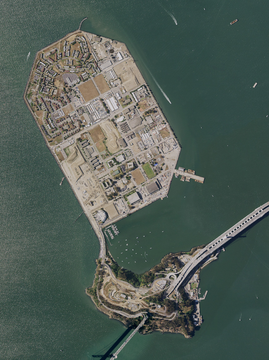
English: Treasure Island and Yerba Buena island, and the San Francisco Bay Bridge, in San Francisco Bay, California. USDA aerial photograph montage. |
| Datum | 27 oktober 2021 (uploaddatum) |
| Bron | Satellite imagery taken from USDA's NAIP |
| Auteur | USDA |
Licentie
Dit werk bevindt zich in het publieke domein in de Verenigde Staten omdat het is vervaardigd door een ambtenaar van de Amerikaanse federale overheid tijdens de uitoefening van zijn functie, en het daarmee volgens Titel 17, Hoofdstuk 1, Sectie 105 van de United States Code [Engelstalige link] een werk van de Amerikaanse federale overheid [Engelstalige link] is.
Nota bene: Het bovenstaande is alleen van toepassing op werken van de federale overheid of een van haar onderdelen, en niet op werken van een afzonderlijk(e) Staat, Territorium, Commonwealth, County, Gemeente, of enig andere bestuurlijke eenheid. Dit sjabloon is ook niet van toepassing op ontwerpen voor postzegels, door de United States Postal Service openbaar gemaakt sinds 1978 [Engelstalige link]. Zie Art. 206.02(b) van "Compendium II: Copyright Office Practices" (Engelstalig).
|
 | |
| Van dit bestand is vastgesteld dat er geen bekende auteursrechtaanspraken op rusten, alle aanverwante en naburige rechten daarbij inbegrepen. | ||
Bestandsgeschiedenis
Klik op een datum/tijd om het bestand te zien zoals het destijds was.
| Datum/tijd | Miniatuur | Afmetingen | Gebruiker | Opmerking | |
|---|---|---|---|---|---|
| huidige versie | 27 okt 2021 18:12 | | 861 × 1.152 (532 kB) | 9yz | New NAIP imagery from 2020 |
| 1 aug 2005 13:54 |  | 948 × 1.280 (217 kB) | Finlay McWalter | Treasure Island and Yerba Buena island, and the San Francisco Bay Bridge, in San Francisco Bay, California. USGS aerial photograph montage. Made using NASA World Wind. {{PD-USGov-USGS}} category:maps |
Bestandsgebruik
Dit bestand wordt op de volgende 2 pagina's gebruikt:
Globaal bestandsgebruik
De volgende andere wiki's gebruiken dit bestand:
- Gebruikt op bg.wikipedia.org
- Gebruikt op ceb.wikipedia.org
- Gebruikt op de.wikipedia.org
- Gebruikt op en.wikipedia.org
- Gebruikt op en.wikivoyage.org
- Gebruikt op es.wikipedia.org
- Gebruikt op et.wikipedia.org
- Gebruikt op fr.wikipedia.org
- Gebruikt op is.wikipedia.org
- Gebruikt op ru.wikipedia.org
- Gebruikt op th.wikipedia.org
- Gebruikt op www.wikidata.org
- Gebruikt op zh.wikipedia.org